
ΑΙhub.org
Developing a system for real-time sensing of flooded roads
By Andrew Bell
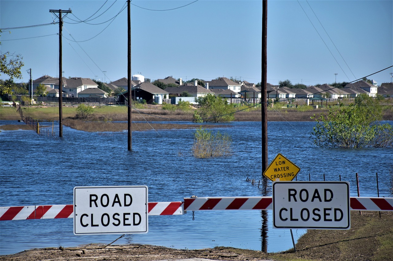
Roadway-related incidents are a leading cause of flood fatalities nationwide, but limited flood-reporting tools make it difficult to evaluate road conditions in real time.
Existing tools — traffic cameras, water-level sensors and even social media data — can provide observations of flooding, but they are often not primarily designed for sensing flood conditions on roads and do not work in conjunction. A network of sensors could improve situational flood level awareness; however, they are expensive to operate at scale.
Engineers at Rice University have developed a possible solution to this problem: an automated data fusion framework called OpenSafe Fusion. Short for Open Source Situational Awareness Framework for Mobility using Data Fusion, OpenSafe Fusion leverages existing individual reporting mechanisms and public data sources to sense quickly evolving road conditions during urban flooding events, which are becoming increasingly frequent.
 Jamie Padgett
Jamie Padgett, Rice’s Stanley C. Moore Professor in Engineering and chair of the Department of Civil and Environmental Engineering, together with Pranavesh Panakkal, a postdoctoral researcher in civil and environmental engineering, analyzed data from nine sources in Houston before developing the comprehensive framework for the automated data system in their research study titled More eyes on the road: Sensing flooded roads by fusing real-time observations from public data sources, published in the journal Reliability Engineering & System Safety.
“While sources directly observing flooded roads are limited, urban centers are replete with sources directly or indirectly observing flooding or road conditions,” Padgett said.
Padgett and Panakkal hypothesized that an automated system combining insights from these real-time sources could potentially revolutionize flood situational awareness without significant investment in new sensors.
“This study offers communities a pathway to equitably sense and respond to urban stressors such as flooding using existing data sources,” Padgett said. “It builds off of and is inspired by our longtime collaboration with colleagues in the SSPEED Center at Rice, who have been developing state-of-the-art flood alert systems. Here we focus on flood impacts on transportation infrastructure and focus on understanding how other data sources can complement information from flood models, especially with respect to impact on roadways and safe mobility.”
The framework uses data from sources like traffic alerts, cameras and even traffic speed, and leverages machine learning and data fusion to predict whether a road is flooded or not.
The value of such data sources was evident during Hurricane Harvey in 2017 as many people in Houston — including emergency responders — resorted to manually examining data sources to infer probable road conditions to overcome the lack of reliable real-time road condition data.
To test the OpenSafe Fusion process, the researchers used historical flooding data observed during Harvey to recreate the scenario in the framework, consisting of around 62,000 roads in the Houston region.
 Pranavesh Panakkal
“The model was able to observe around 37,000 road links, which is around 60% of the network that we considered, and that is a significant improvement,” Panakkal said.
Other data sources that could be used in the framework include: water-level sensors, citizen portals, crowdsourcing, social media, flood models and a factor the study refers to as “human-in-the-loop.”
This last source is especially important, Panakkal says, as the human element of OpenSafe Fusion allows for responsible artificial intelligence (AI) usage.
“We do not want a system that is fully automated and without any human control,” Panakkal said. “The model may make a wrong prediction, which could endanger community members who decide to risk travel based on this prediction. So we designed safeguards based on responsible AI usage. This need for responsible AI in such tools is still an open area for further work, and we hope to dig deeper as we test our methods in the future.”
The study also considered flooding impacts on community access to critical facilities such as hospitals and dialysis centers during a natural disaster.
“This gives community members or emergency responders an understanding of which roads are flooded and how to safely navigate to a location,” Panakkal said.
Padgett says the researchers hope to pursue extensive testing, validation and exploration of how communities with different scales and resource availability could use this framework to better sense road conditions during a flood.
“Considering climate change impacts and climate-exacerbated weather events, the frequency and intensity of flood events could increase in the future, so we need a solution to better respond to flood events and their impacts on infrastructure,” Padgett said.

AIhub is supported by: