
ΑΙhub.org
Optimizing sensor placement for estimating wildlife populations: an interview with Hannah Murray
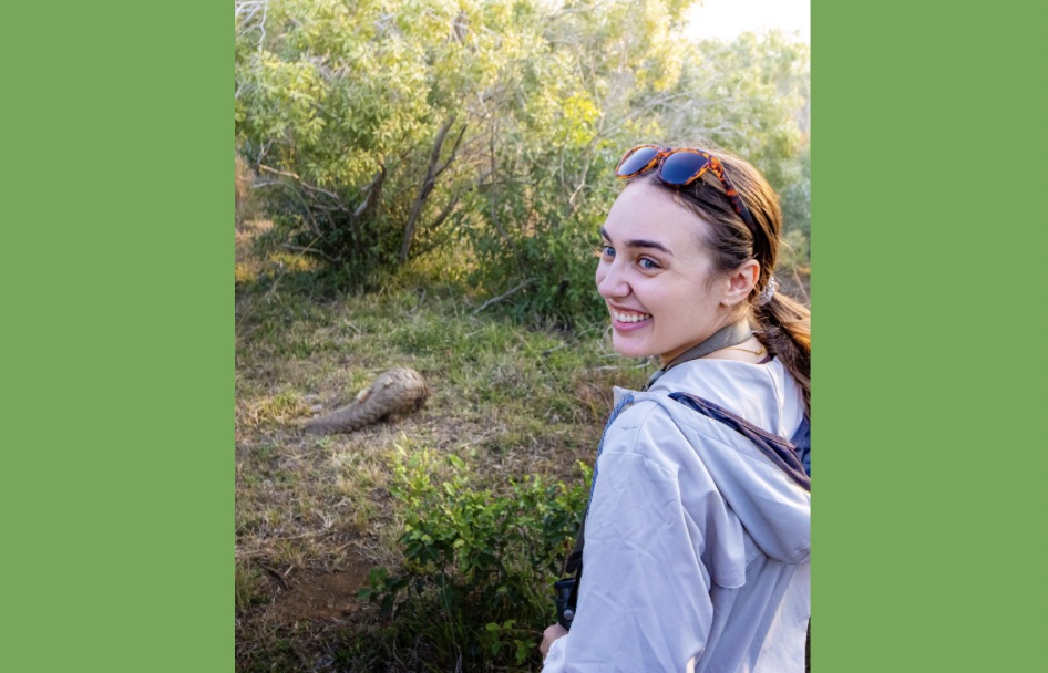
In their paper Optimizing Sensor Placement with Greedy Algorithms: A Case Study in Wildlife Camera Trapping for Spatial Capture-Recapture Population Estimation, Hannah Murray, Amrita Gupta, Arielle W. Parsons, Justin P. Suraci and Bistra Dilkina present an approach for optimizing sensor placement for wildlife population counts. We caught up with first author Hannah to find out more about this work, which was presented at IJCAI-ECAI 2026.
What is the topic of the research in your paper, and why is it an interesting area for study?
In our research, we set out to develop optimization methods that help ecologists determine where to place sensors, such as camera traps, to get precise estimates of species population counts from the data they collect. This information is integral for ecologists to measure ecosystem health and to develop effective conservation management strategies, but they usually work under strict budget constraints. I personally think it’s an interesting area of study since a lot of research going on in the realm of AI for wildlife conservation focuses on computer vision, most commonly for species identification of observations that come from camera traps. Not as much attention has gone into applying other AI and optimization techniques to problems in wildlife conservation. It’s a nice bonus that our methods can also serve as a preprocessing step, helping determine where to place camera traps for all the existing computer vision analysis happening downstream.
What are the limitations of current approaches for estimating wildlife populations?
Ecologists use tools called spatial capture-recapture (or SCR) models to estimate species population counts based on observations from sensors. These could be images from camera traps or hair from hair snares. Because these observations drive the SCR models, the quality of the SCR model outputs is heavily influenced by where those sensors are placed relative to the species’ habitat preferences. Most ecologists use grid-based strategies when configuring their sensors across a study area, essentially cutting it into an evenly spaced grid and placing cameras uniformly within that grid. However, this method essentially ignores key considerations like “what type of landscape is my species drawn to?” or “does this habitat even support my species at all?” If you place cameras in a lot of areas where your species isn’t actually located, you’re not going to get accurate or precise population estimates of your target species. There’s so much expert knowledge and published literature out there quantifying how habitat features like tree cover or human footprint affect species, but these uniform methods essentially ignore it. There is one available algorithmic approach using genetic algorithms that can support these habitat covariates when determining where to place sensors, but it goes to the other extreme. It requires perfect knowledge of how habitats influence species preferences, supporting only a single point estimate of these values. There’s so much variability in how species preferences change within individuals, across seasons, and over multiple years as landscapes change, that it’s unlikely a single estimate can capture it all.
Could you explain how your methodology addresses these limitations?
In our method, we explicitly account for this variability by optimizing over hundreds of plausible estimates of how the target species responds to habitat features. We use sample average approximation to sample from these estimates and split them into the traditional train, validation, and test splits you’d see in machine learning modeling. This allows us to run multiple repetitions of the optimization approach, each on a unique set of feature estimates. After selecting the optimized layout that achieves the most precise population estimates when evaluated via SCR on our validation set, we carry that layout forward to get final performance metrics using SCR on our test set. What we found is that our approach was more accurate and more precise at estimating population sizes when evaluated under plausible parameter shifts.
How do you go about demonstrating your approach?
Simulation is an important part of how we demonstrate our approach. Since you never actually know the true species population counts in the real world, simulating is how we can validate our approach against a “known” ground truth. Simulating also enables us to measure both the accuracy and precision of our estimates, where ecologists usually only focus on precision due to this same constraint. For our IJCAI paper, we demonstrate our approach on a camera trapping study of the American marten in the South Chilcotin Mountains of British Columbia, Canada, where the full study area is essentially a candidate camera trap location. This case study is hypothetical in two senses: the marten population itself is simulated from literature-derived parameters rather than real capture data, and we had full control over the candidate camera sites, so we weren’t constrained by real-world factors like areas being off-limits for one reason or another or cameras that are already deployed and can’t be taken down. Real-world deployments come with exactly those constraints, which is why we’re also evaluating our approach by working with expert ecologist partners on real-world deployments, where we apply our optimization framework to see how it performs in practice.
Could you say something about the real-world pilots of your methods?
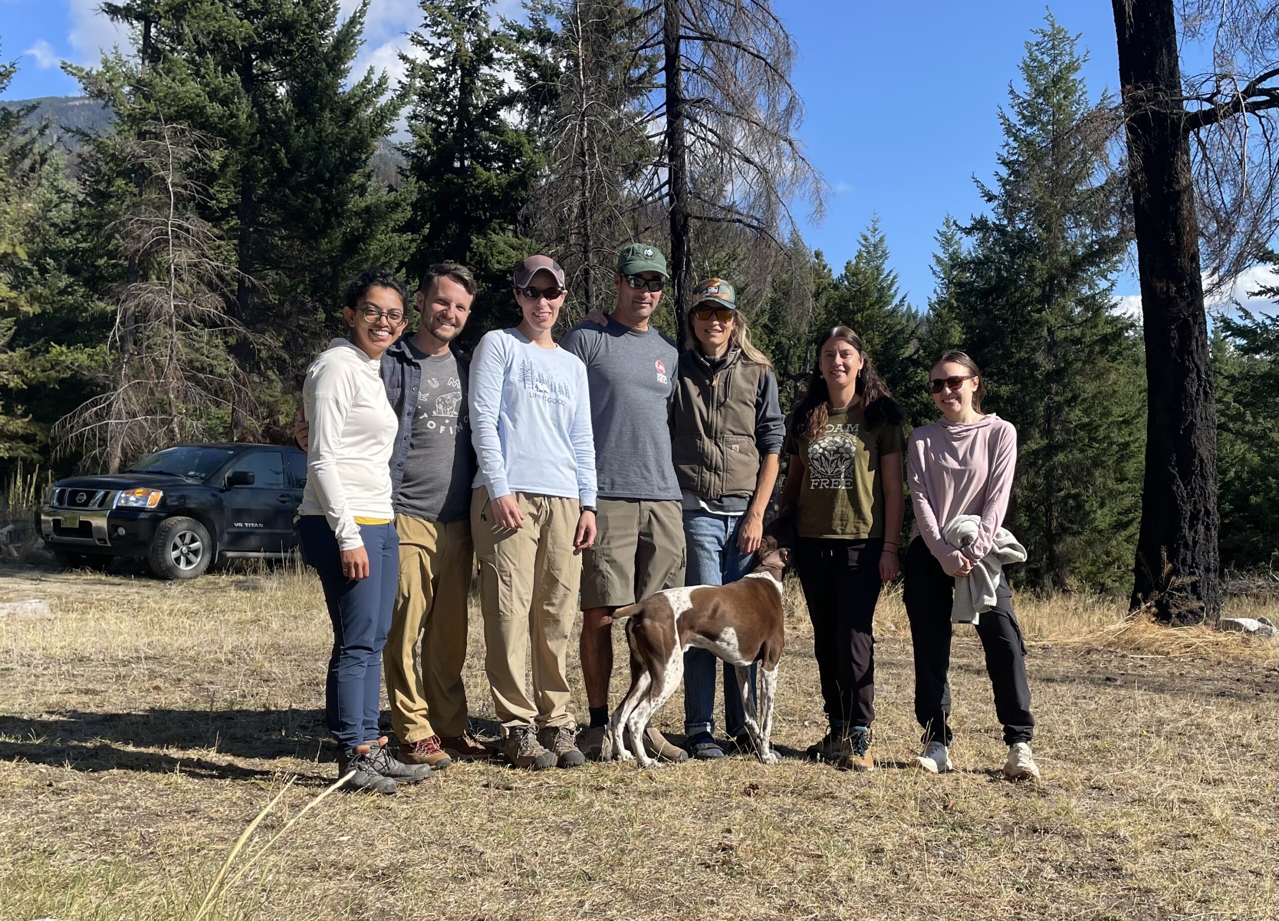
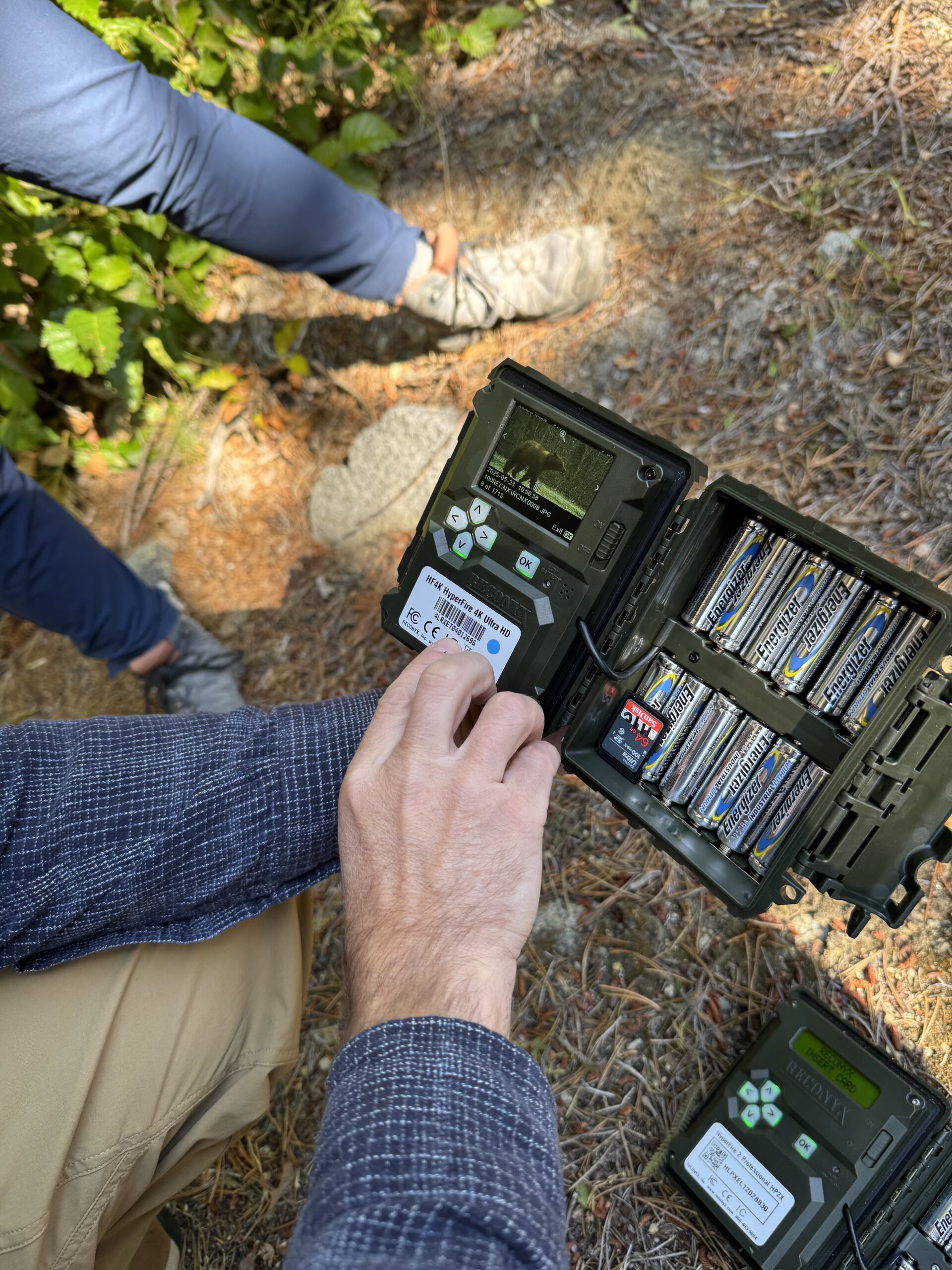
We deployed the first of our pilots last fall on grizzly bears. The team, which includes myself, my doctoral advisor Bistra Dilkina, Amrita Gupta from Microsoft’s AI for Good Lab, and Arielle Parsons and Justin Suraci from Conservation Science Partners, traveled to the South Chilcotin Mountains in British Columbia. We worked with two researchers, Robin Naidoo and Angela Brennan, who have been studying bears in the area for multiple years. Together, we tested a variation of our optimization framework that determines where to place additional cameras when a fixed set is already deployed in the study area. The bear study season runs about a year, so we’re just now starting to get the images from the cameras back to analyze to see how population estimates would change with the new additional camera sites our method identified vs without them. Another variation our real-world pilots have surfaced is providing ecologists with information on which cameras to remove from a study area with minimal impact on the final population estimates from the SCR models. This matters a lot in practice since deploying and maintaining cameras is expensive and labor-intensive, from the hardware itself to the time spent hiking out to remote sites to check batteries and retrieve the memory cards. If we can tell ecologists which cameras are contributing the least to the precision of their population estimates, they can scale back where it’s safe to do so and redirect that budget and field time elsewhere, whether that’s covering a new area entirely or maintaining existing sites for longer. The other pilots are still in the optimization phase, so hopefully we can get out there to deploy the cameras soon!
Are you planning extensions to this work, and what are you most excited about trying?
Beyond applying our existing framework to additional study areas and different species, we’re really interested in expanding it to help ecologists make management decisions across consecutive study periods, rather than treating each year as a one-off optimization problem. This becomes more important as the climate changes and species adapt and shift their habitat preferences over time. A sensor layout that’s optimal today might not be optimal a few years from now. If we can extend our framework to account for this kind of uncertainty across years, we could give ecologists sensor configurations designed to perform well not just for a single season, but on average across multiple years of shifting conditions. This connects to adaptive survey design, so results from one time period inform camera placement in the next, rather than starting from scratch each year. This has the potential to save ecologists a lot of time and resources.
About Hannah
|
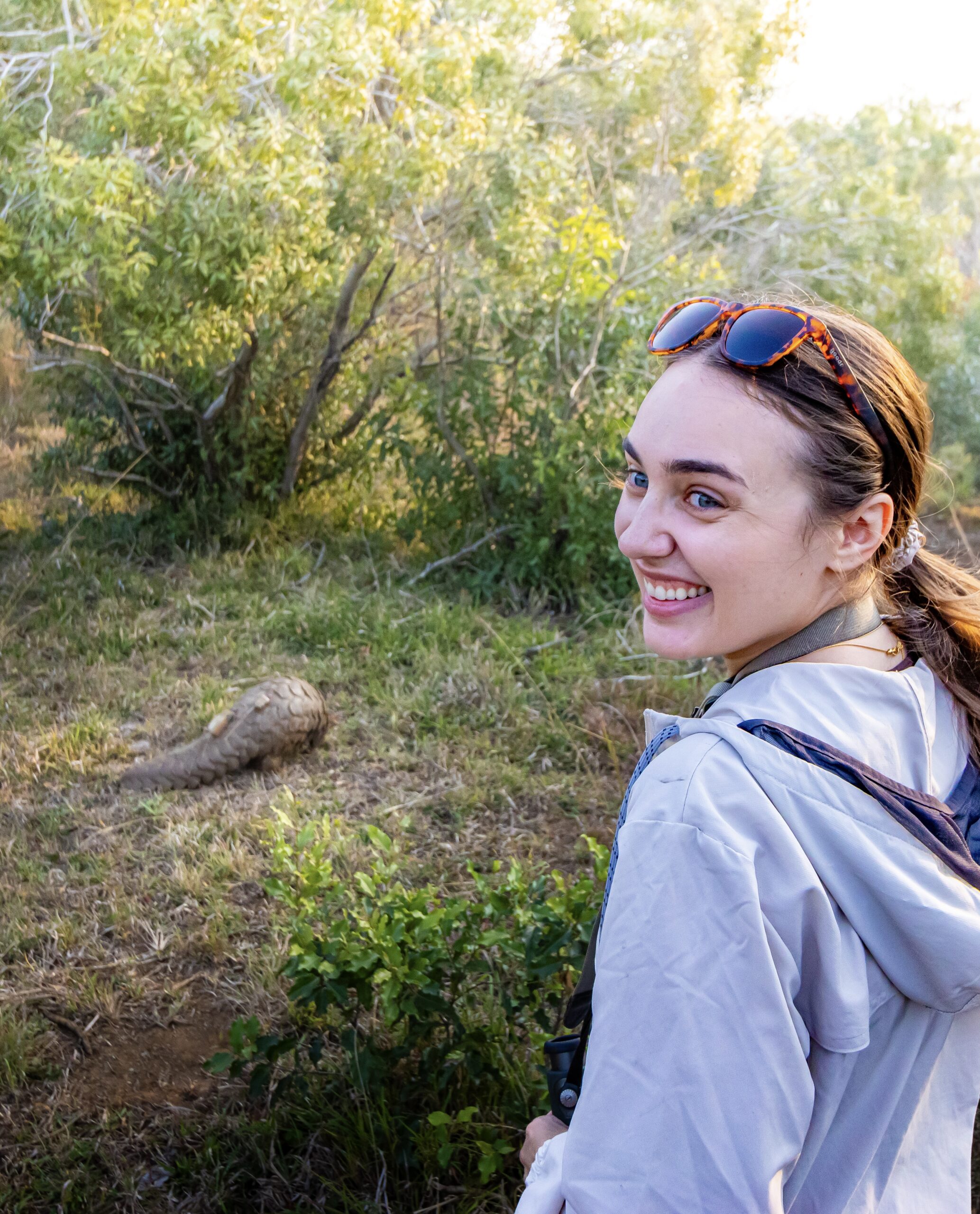
Hannah Murray is a 4th-year PhD Candidate in Computer Science at the University of Southern California, where she is advised by Dr. Bistra Dilkina. Her research focuses on developing AI and optimization methods for wildlife conservation – from designing more efficient wildlife monitoring approaches to building tools that uncover new knowledge into how illicit wildlife trade networks function. |
tags: ECAI, ECAI2026, IJCAI, IJCAI2026

AUAI is supported by: